
Wolfscote Dale - Peak District Walk
Thursday 15th February 2007
The weather remained grey and overcast for most of the day, except for a short period when I was on the Tissington Trail. I had planned on doing this walk on Monday but opted to delay it because of the snow and rain at the end of the previous week, it would appear that I made the correct decision. The route from Hartington to Beresford Dale was somewhat muddy and the field that links Beresford Dale with Wolfscote Dale had signs of having been recently flooded. Once these areas were negotiated it was a relatively easy walk along solid paths.
Start: Hartington Station car park (SK 1492 6099)
Route: Hartington Station - Heathcote - Hartington - Beresford Dale - Wolfscote Dale - Alsop Station - Tissington Trail - Hartington Station
Distance: 11 miles Ascent: 455 metres Time Taken: 4 hrs 20 mins
Weather: Grey & overcast for most of the day, with a cool breeze.
Pub Visited: None Ale Drunk: None
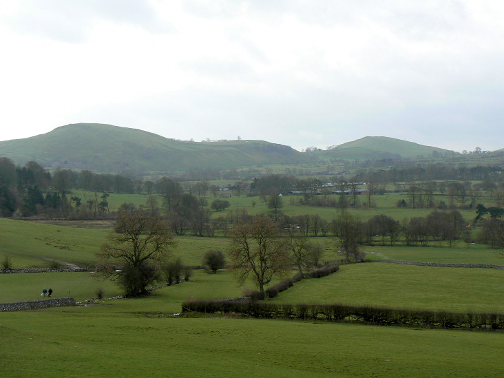
Wetton Hill from the descent into Beresford Dale.
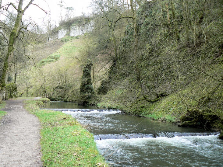
Beresford Dale.
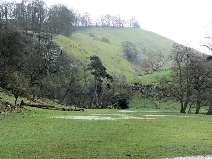
The head of Wolfscote Dale.
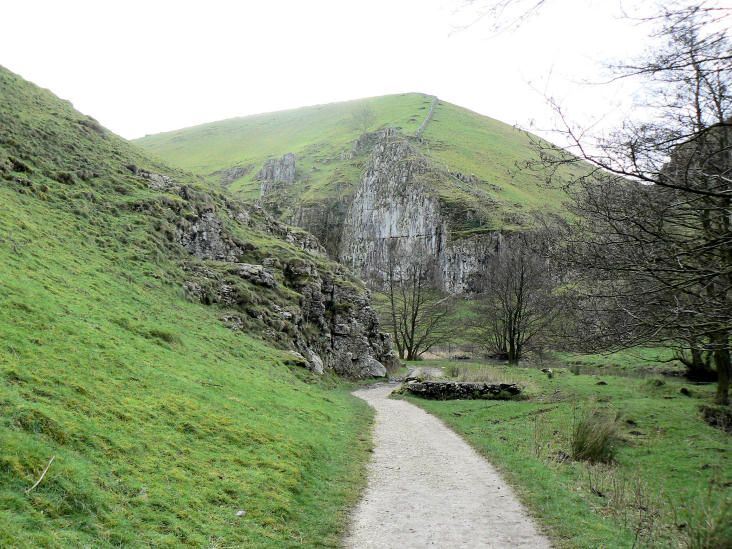
Drabber Tor in Wolfscote Dale.
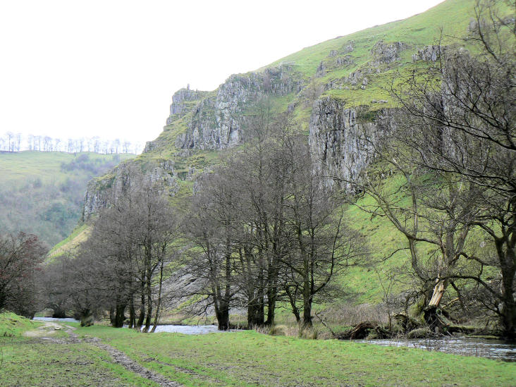
Turn the corner and you see Peaseland Rocks.
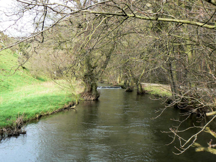
Looking back at the wooded section of Wolfscote Dale, from Coldeaton Bridge.
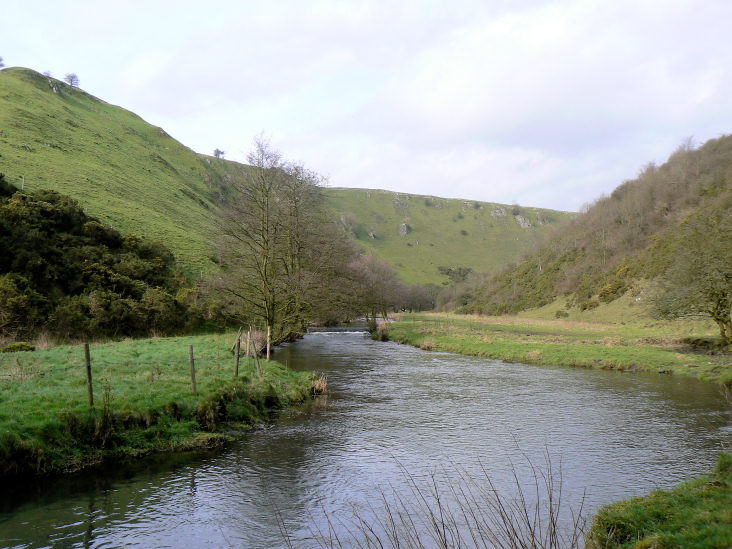
Wolfscote Dale.
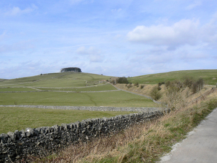
Following the Tissington Trail in the direction of Johnson's Knoll.
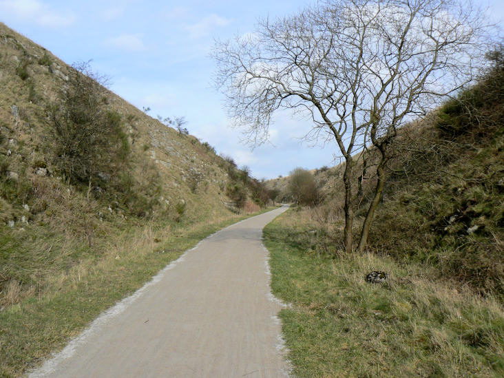
Blue sky whilst I'm on the Tissington Trail.
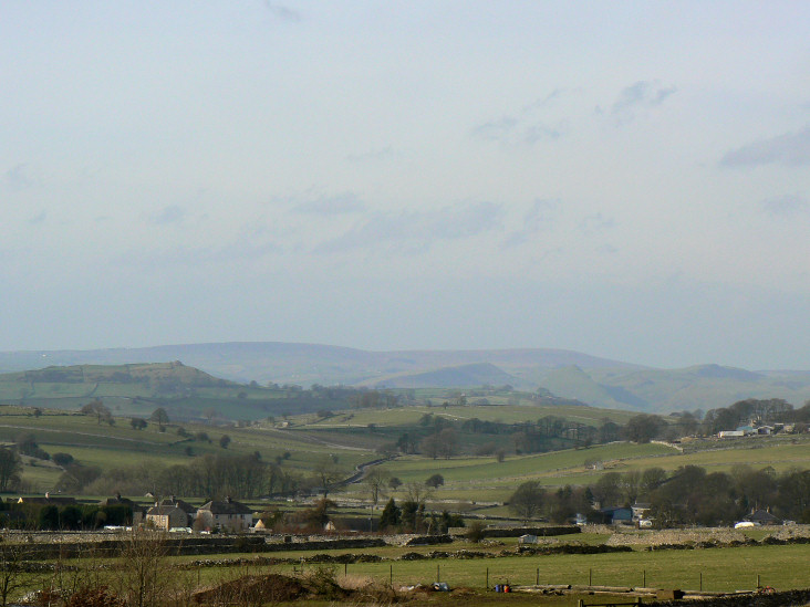
Axe Edge Moor and Parkhouse Hill, from the Tissington Trail.
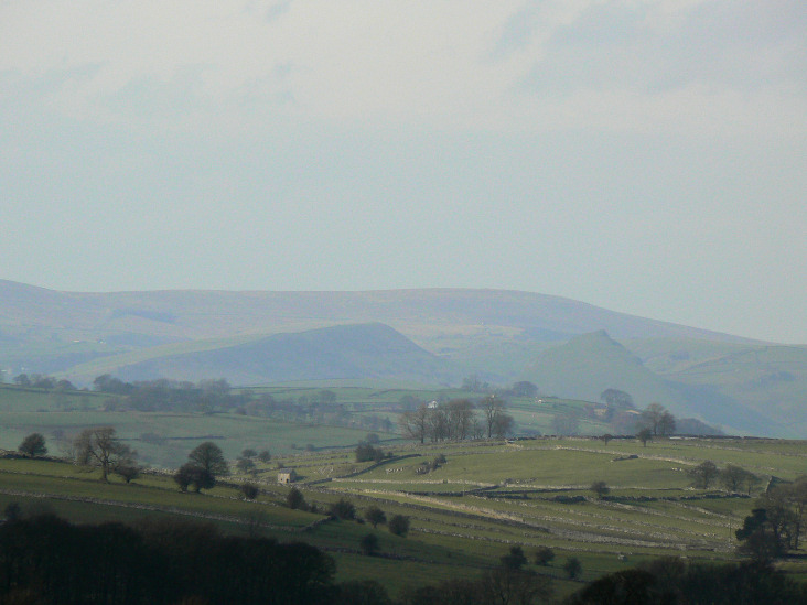
Axe Edge Moor and Parkhouse Hill, from the Tissington Trail.
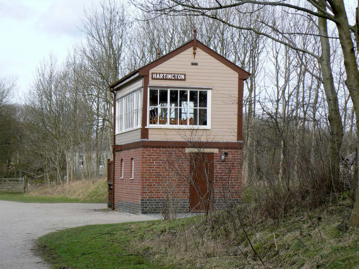
Grey sky as I reach Hartington Station.
All pictures copyright © Peak Walker 2006-2023